Walking Velebit: The Premužić Path, Hut to Hut in Three Days
The Premužić Path in three stages from Zavižan to Baške Oštarije, with the distance, time and water for each, plus the five southern stages and the summer bus.
Quick links
Don't want to read all this?
We've planned 2,000+ hiking trips. Send your dates, fitness and group size — we'll map the route and book every night.



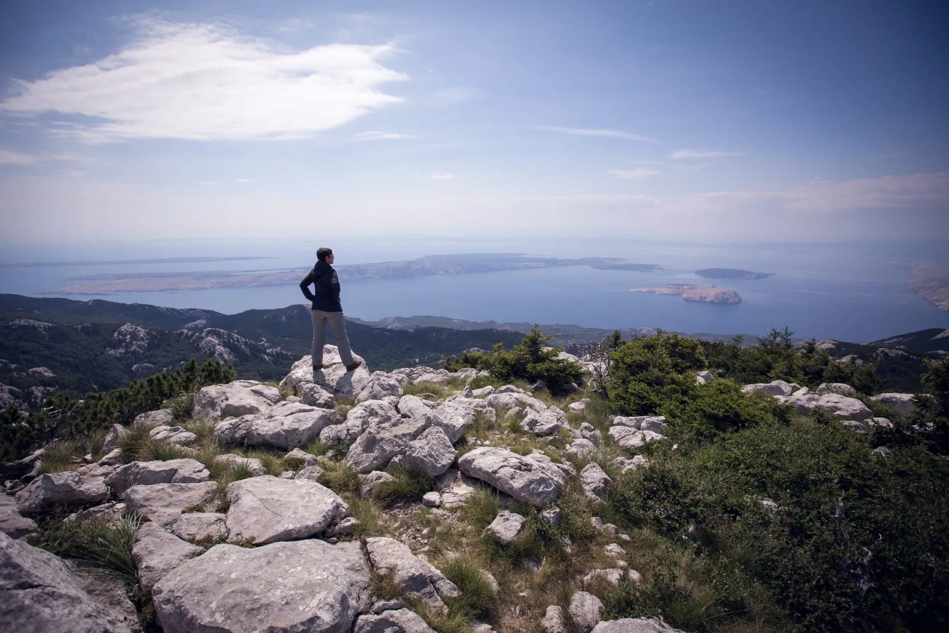
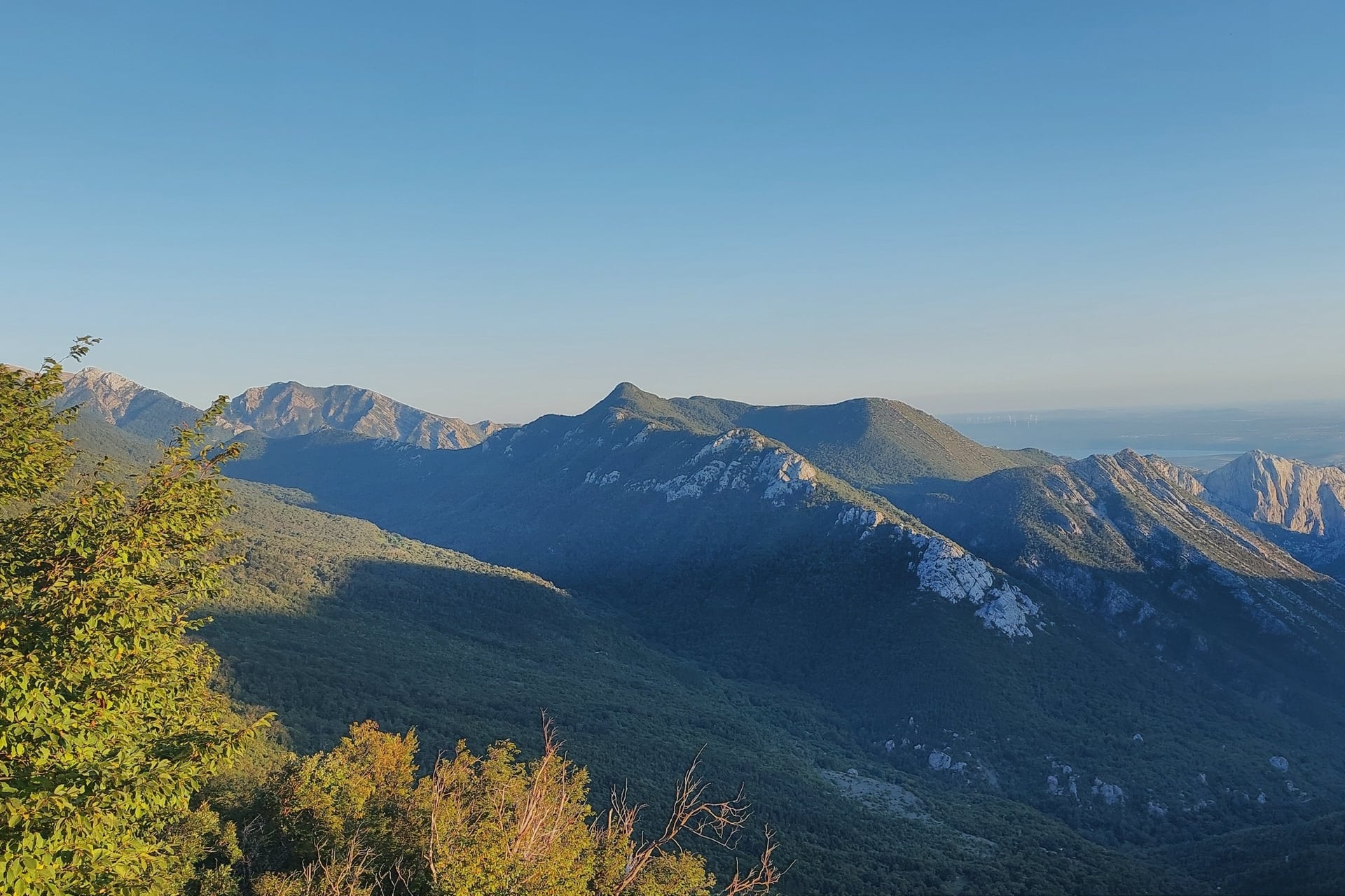
From the coast road, Velebit looks like a bare grey wall above the sea. On top it is a different country, with limestone towers, beech and spruce forest and flowering pastures, and the islands of Rab and Pag laid out below.
Walking Velebit is easier than the wall suggests, because of one path. Between 1930 and 1933, workers from the villages below built the Premužić Path in dry stone, at a gradient gentle enough for walkers who are new to mountains.
In three stages and 48.5 km you walk hut to hut from the weather station at Zavižan, 1,594 m, to the pass village of Baške Oštarije. South of there, the Velebit Hiking Trail carries on for five rougher stages to the sea at Starigrad-Paklenica.
What Is the Premužić Path?
The Premužić Path is a mountain path laid in dry stone along the crest of northern and middle Velebit, the most rugged part of the range. The forestry engineer Ante Premužić designed it, and the work ran from 1930 to the summer of 1933.
Length: 57 km as built, from Oltari to Baške Oštarije, and 46 km from the Zavižan hut, where walkers start
National park: the first 16 km cross Northern Velebit National Park, the rest Velebit Nature Park
Gradient: about 10% on average and 20% at the steepest point, the Crikvena saddle
Width and height: 1.2 m wide on average, with its highest point at 1,630 m
Protection: listed as a cultural monument along its whole length since 2009
The path forms the northern half of the Velebit Hiking Trail, which the Croatian Mountaineering Association (HPS) marks with red-and-white waymarks from Zavižan to Starigrad-Paklenica. Northern Velebit, founded in 1999, is the youngest of Croatia's eight national parks.
Walking the Premužić Path Stage by Stage
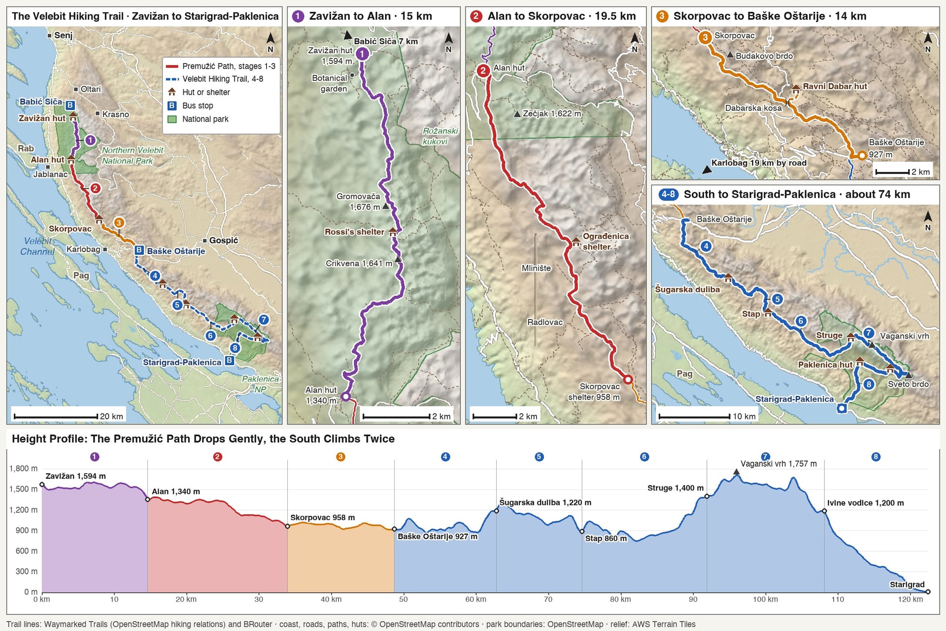
Three stages of 14 to 19.5 km cover the Premužić Path from the Zavižan hut to Baške Oštarije, and each one ends under a roof. HPS describes the trail from north to south, which on the Premužić Path is downhill overall, from 1,594 m to 927 m.
HPS counts nine sections for the whole trail because it splits Stage 3 at the Ravni Dabar hut, so Stages 4 to 8 here are its sections 5 to 9. Three days cover the Premužić Path, and the whole trail takes eight walking days by these stages.
Route | Distance | Up and down | Time | Where you sleep |
Zavižan to Alan | 15 km | About 460 m up, 690 m down | 5 to 6 h | Alan hut |
Alan to Skorpovac | 19.5 km | About 370 m up, 760 m down | 4 to 6 h | Skorpovac shelter |
Skorpovac to Baške Oštarije | 14 km | About 310 m up, 350 m down | About 5 h | Baške Oštarije |
Baške Oštarije to Šugarska duliba | About 14 km | About 930 m up, 660 m down | 6 to 7 h | Šugarska duliba shelter |
Šugarska duliba to Stap | About 12 km | About 470 m up, 790 m down | 5 h | Tatekova koliba, Stap |
Stap to Struge | About 17 km | About 1,060 m up, 530 m down | 7 to 8 h | Struge shelter |
Struge to Ivine vodice | About 16 km | About 840 m up, 1,060 m down | 8 h | Ivine vodice shelter |
Ivine vodice to Starigrad-Paklenica | About 14 km | About 190 m up, 1,380 m down | 6 h | Starigrad-Paklenica |
Stage 1: Zavižan to Alan
Distance: 15 km, the first 2 km on the road from the hut to where the path begins
Up and down: about 460 m up and 690 m down
Time: 5 to 6 hours
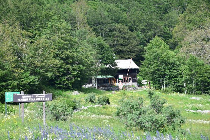
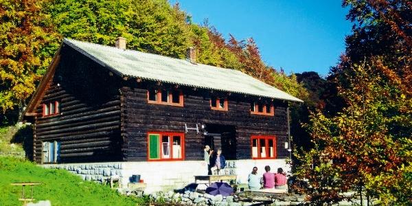
Where you sleep: the Alan hut, 1,340 m, with 40 beds, staffed from mid-June to the end of October and at weekends otherwise
Water: rainwater cisterns at Zavižan and Alan, and nothing reliable between them
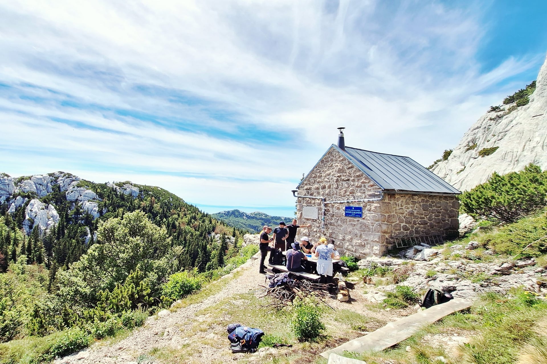
This is the stage the path was built for. From the Zavižan hut you drop past the Velebit Botanical Garden at 1,480 m, then the path enters Rožanski kukovi, a maze of limestone towers (kukovi) and a strict nature reserve, so you see the towers only from the path.
Rossi's shelter, 1,580 m, about 2 hours from Zavižan, is the lunch stop. It dates from 1929 and is meant for emergencies, not for a night. A side path climbs Gromovača, 1,676 m, in 20 minutes, the best lookout over the towers and down to the sea.
The 1.5 km from Čepuraš to Gromovača was the last and hardest stretch to build, finished in 1933. Beyond the Crikvena saddle, the steepest point at 20%, the path drops through forest and meadows to the Alan hut beside the road from Jablanac to Krasno.
Stage 2: Alan to Skorpovac
Distance: 19.5 km, the longest Premužić stage
Up and down: about 370 m up and 760 m down
Time: 4 to 6 hours
Where you sleep: the Skorpovac shelter, 958 m, with about 20 places, open all year with no warden
Water: the Gornja korita spring below Šatorina, which can fail in a dry summer, and a cistern beside the shelter
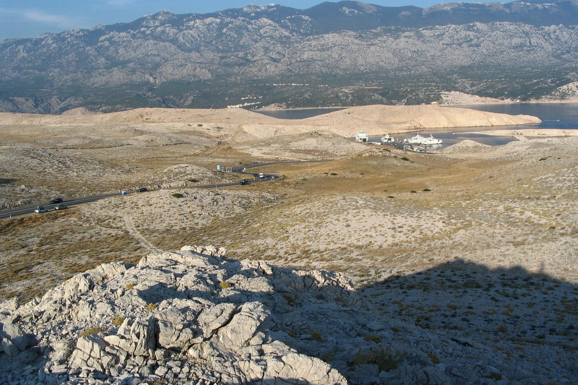
Below Alan the ridge widens into pastures, and the path leaves the national park for Velebit Nature Park. Mirovo, just past the hut, was one of the largest summer settlements on Velebit, and its stone huts, walls and cisterns still stand.
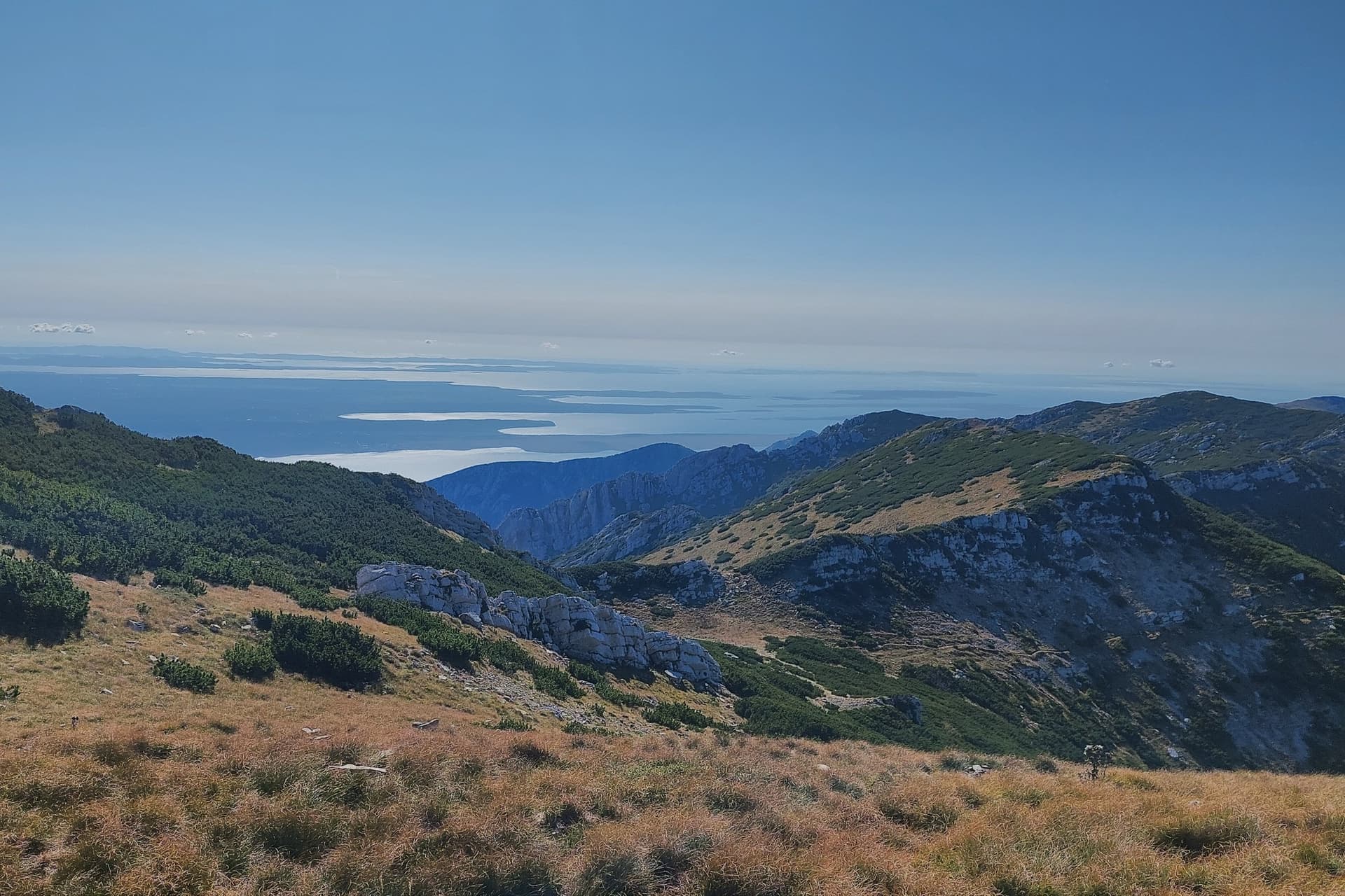
The path keeps its height along the seaward side of the ridge, through meadows and forest, with Rab below for much of the day. Zečjak, 1,622 m, is a 1-hour climb from the path, and its views run from Učka to the coast near Zadar.
After the empty summer villages of Mlinište, 998 m, and Radlovac, 950 m, the path reaches Skorpovac. The old shelter there burned down in 2024, and HPS rebuilt it in 2025 in steel and timber, 7 m by 7 m, with a stove and simple bunks.
Stage 3: Skorpovac to Baške Oštarije
Distance: 14 km on the Premužić line
Up and down: about 310 m up and 350 m down
Time: about 5 hours
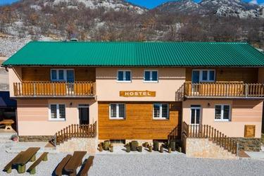
Where you sleep: Baške Oštarije, 927 m, with a hostel and the Vila Velebita hut
Water: the Ljubica spring at Baške Oštarije, one of only three reliable springs on the whole trail
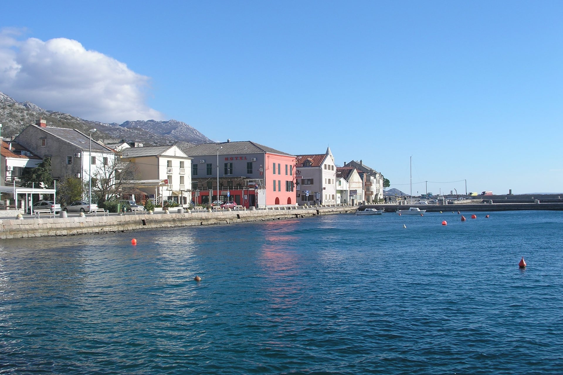
The last Premužić stage winds through forest and old pastures in the Dabri, the karst valleys behind the coast. A side path from Skorpovac climbs Budakovo brdo, 1,317 m, in 1 hour 15 minutes, a grassy hill with views over the sea on one side and Lika on the other.
At Dabarska kosa the HPS route turns down to the Ravni Dabar hut, a former village school at 723 m, splitting the stage into 6 hours and 3 hours. The Premužić line carries straight on to Baške Oštarije, a village of scattered hamlets on the road from Gospić to Karlobag.
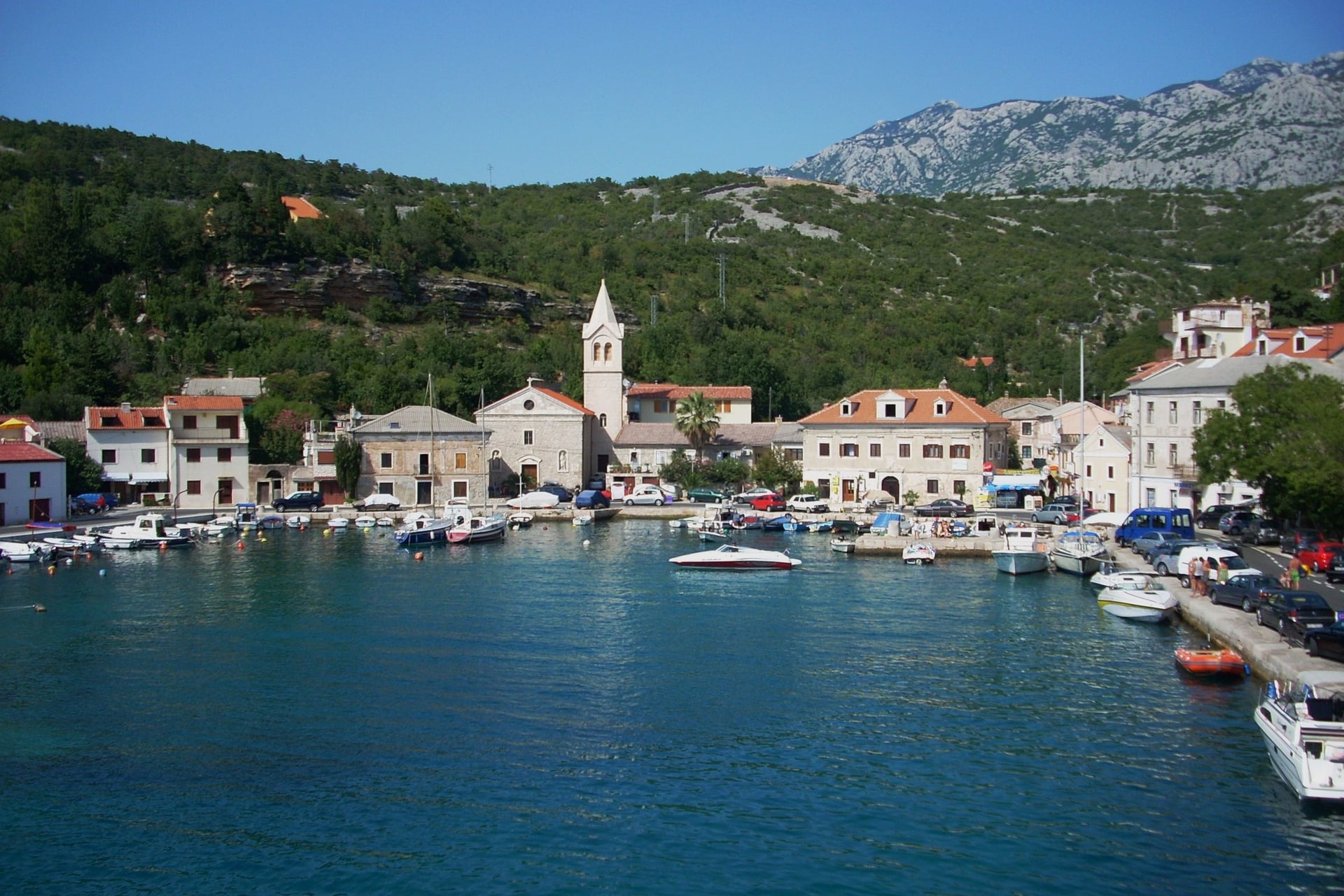
Buses stop in the village, and Karlobag is 19 km down the road. Baške Oštarije is where most walkers stop or start, because it sits halfway along the Velebit Hiking Trail with a road and a bus.
Stages 4 to 8: Baške Oštarije to Starigrad-Paklenica
Distance: about 74 km in five stages of 12 to 17 km
Up and down: about 3,500 m up and 4,400 m down
Time: 5 to 8 hours a day
Where you sleep: unstaffed shelters for 10 to 15 people at Šugarska duliba, Stap, Struge and Ivine vodice, then the Paklenica hut with 50 beds
Water: rainwater cisterns at the shelters, to be treated, and a reliable spring only in Paklenica
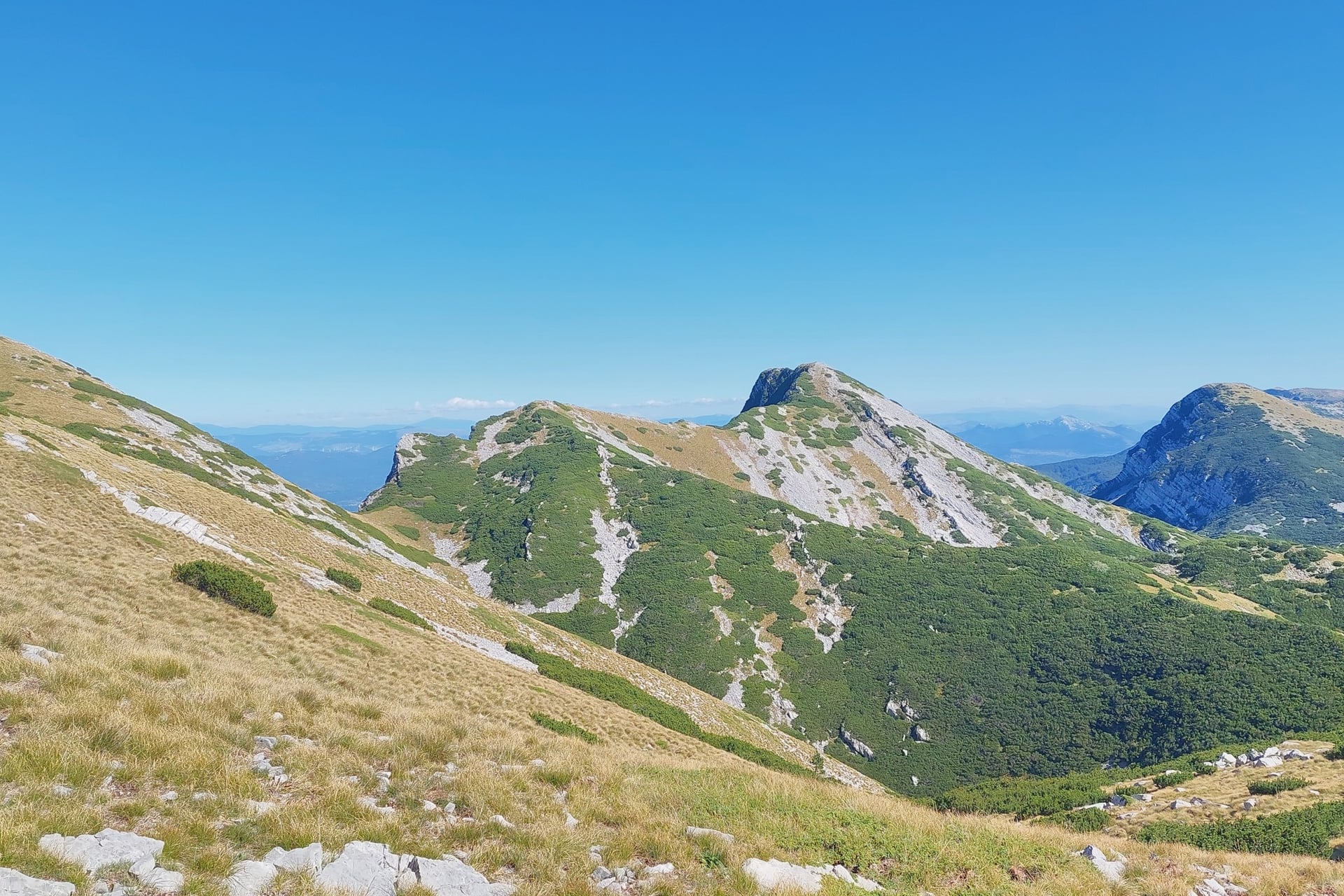
Beyond Baške Oštarije the path is no longer built. The trail follows marked mountain paths over karst, scree and grass, and you carry food for the whole southern half, because the shelters sell nothing.
Stage 4, to Šugarska duliba: 6 to 7 hours through forest and over the stony ridge of Sladovačko brdo to a renovated shelter at 1,220 m
Stage 5, to Stap: 5 hours across meadows below Debeli kuk to Tatekova koliba, a shelter at 860 m
Stage 6, to Struge: 7 to 8 hours past Stapina, an 80 m rock pillar, and the chapel on the Veliko Rujno plateau to a shelter at 1,400 m
Stage 7, to Ivine vodice: 8 hours over Vaganski vrh, 1,757 m, the highest point of Velebit, and Sveto brdo, 1,751 m
Stage 8, to Starigrad-Paklenica: 6 hours down past the Paklenica hut, 480 m, and through the Velika Paklenica canyon to the coast road
The ground around Vaganski vrh was a front line in the 1990s, so walking there is allowed only on the marked trail. The finish lies in Paklenica National Park, and the stamp for the whole trail is kept at the park reception.
Summit days such as Vaganski vrh from Paklenica are in our sister brand's guide to hiking in Croatia.
How Hard Is Walking Velebit?
On the Premužić Path the effort comes from long days with your own pack, while the ground underfoot is a built path. The southern stages are steeper and rougher.
Gradient and Terrain
With an average gradient of about 10%, there is no scrambling on the three Premužić stages. Most of the effort is downhill, about 1,130 m up against 1,790 m down, so your knees work harder than your lungs.
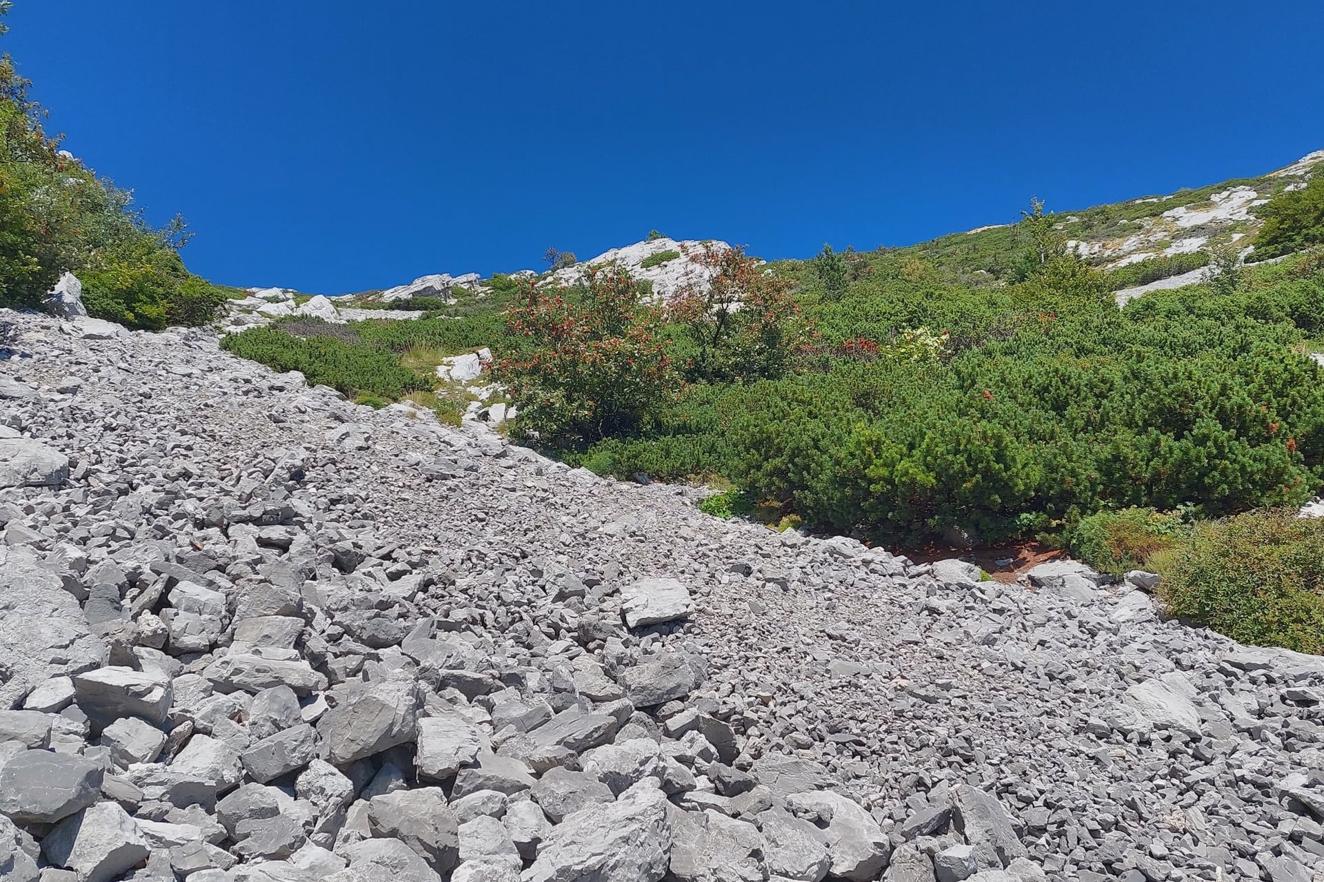
The southern stages are a different grade. They climb up to 1,060 m in a day over stony paths and scree fields like those below Vaganski vrh, with 7 to 8 hours of walking and no road for long stretches.
Weather and the Bura
Zavižan, the highest weather station in Croatia, records about 1,980 mm of rain and snow a year. The bura, a cold north-easterly gale, is strongest along the Velebit coast and can blow in summer too.
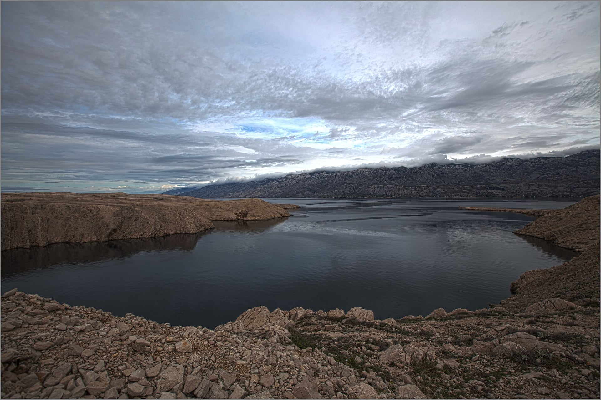
HPS warns that sudden changes in the weather are likely even in summer, so carry clothes against wind, rain and cold every day. In July and August it also advises against climbing up from the coast in the heat of the day, when the bare slopes take the full sun.
Water and Wildlife
Water on the ridge comes from rainwater cisterns at the huts and shelters, and HPS advises purifying or boiling it. The only reliable springs on the whole trail are at Štirovača, at Ljubica in Baške Oštarije and in Paklenica, so carry two to three litres a day.
Bears, wolves and lynx live in the park's forests, and chamois graze the summits. Nose-horned vipers bask on rocks and paths, so watch where you put your hands; in an emergency call 112, which also reaches the mountain rescue service, HGSS.
Best Time to Walk Velebit
On the ridge the season depends on snow. At Zavižan it covers the ground on 174 days a year, from November into May.
HPS recommends May to October for the trail and advises against the winter months, and the national park normally opens from the beginning of May to the end of November. The Alan hut is staffed every day from mid-June to the end of October.
Month | Day high at Zavižan | Days with rain | Days with snow lying | Alan hut |
May | 10 °C | 11 | 10 | Weekends |
June | 14 °C | 11 | 1 | Every day from mid-June |
July | 17 °C | 7 | 0 | Every day |
August | 17 °C | 7 | 0 | Every day |
September | 13 °C | 10 | Under 1 | Every day |
October | 8 °C | 12 | 5 | Every day to the end of October |
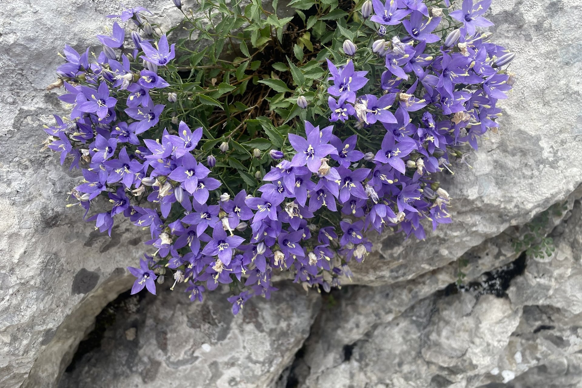
June and July bring the flowers. The Velebit Botanical Garden, 15 minutes from the Zavižan hut, grows some 300 species and is at its best in those two months.
July and August are the driest months, and the ridge stays far cooler than the coast: afternoon highs reach 16 to 17 °C at 1,594 m, against 28 °C at Zadar. September still averages 13 °C by day, and by October the highs are near 8 °C, with snow lying on about 5 days.
Huts and Shelters on the Premužić Path
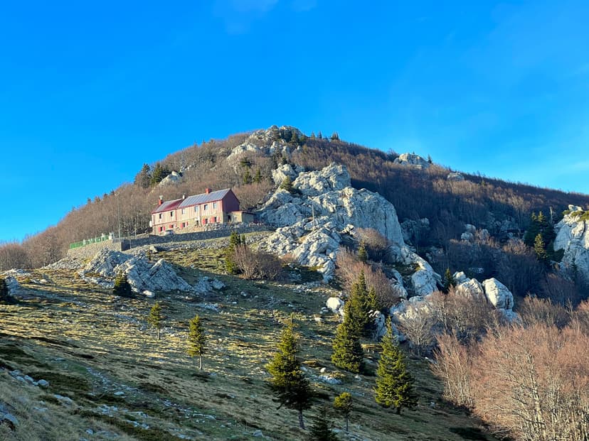
Each night on the path is spent under a different kind of roof: a stone hut with a weather station, a wooden hut without electricity and a steel-and-timber shelter with no warden.
For Zavižan and Alan, book ahead, especially for summer weekends. Zavižan asks every guest to arrange a bed with the warden in advance, and Alan, run by the Sljeme orienteering club from Zagreb, serves drinks and simple meals by arrangement and lends blankets.
Shelters such as Skorpovac are open all year and free, with no warden, no food and no booking, so places go to whoever arrives first. Bring a sleeping bag, a mat, food and a stove; HPS allows simple cooking inside.
Where You Sleep From Zavižan to Baške Oštarije
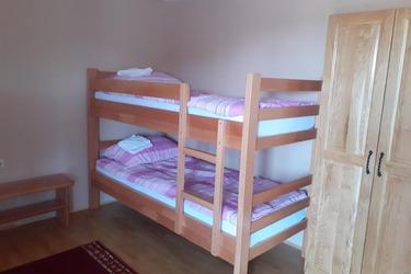
These are the beds on either side of the Skorpovac shelter: Zavižan the night before the first stage, Alan at the end of it, and Baške Oštarije at the end of the path.
Other Huts, Tents and Camping
On the HPS route, the Ravni Dabar hut, 723 m, sleeps 50 in its attic and opens in summer and by arrangement, with water from a cistern. In Baške Oštarije, the Vila Velebita hut at 935 m opens in summer with food and drinks.
Camping is banned in Northern Velebit National Park, where fires are allowed only at marked fireplaces. Outside the park, HPS allows tents only beside a hut or shelter, and the only campsite on the trail is at Baške Oštarije.
Know Before You Arrive
The path is easy to follow, so the planning goes into reaching Zavižan, leaving Baške Oštarije and paying for the park.
Getting There and Back
Zavižan sits at the end of a mountain road, and no bus reaches the hut. By car, leave the coast road at Sveti Juraj, 10 km south of Senj, climb 14 km to Oltari, then drive 10 km to the Babić Siča park entrance at 1,300 m and 7 km on gravel to Zavižan.
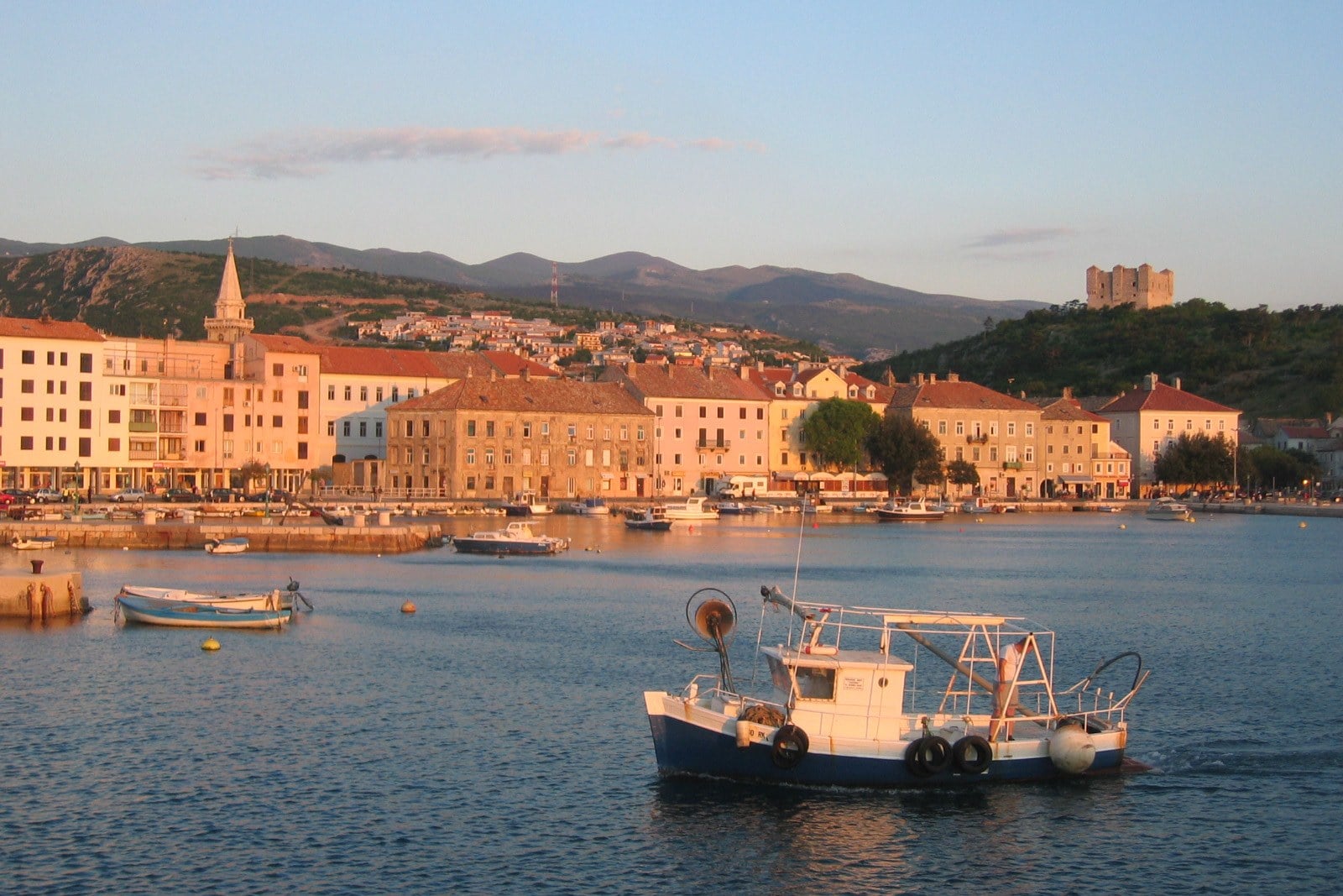
From Zagreb: about 190 km and three hours by road to Zavižan
Bus to the start: in the Croatian school summer holidays, Lika Line 22 leaves Senj daily at 8:00 and reaches Babić Siča at 8:50, returning at 15:35; Zavižan is 7 km further on foot
Rest of the year: the same line runs on weekdays only as far as Oltari and Krasno, and a local transport service carries walkers from Krasno to the park entrance
Bus from the finish: in July and August, Lika Line 4 leaves Baške Oštarije for Karlobag at 9:53 and 20:23 and for Gospić at 8:22 and 19:07, with fewer buses in other months
From Starigrad-Paklenica: Liburnija buses reach Zadar in about 45 minutes, on weekdays only
Flights: Zagreb has flights from London all year, and Rijeka and Zadar have summer flights from the UK; from the US, United flies to Split and Dubrovnik in summer
How Much It Costs
The path itself is free, and the costs are the park ticket, the huts and the buses. Northern Velebit charges one price all year, sold at Babić Siča, at the Alan hut, by rangers on the trail and at Velebit House in Krasno.
Northern Velebit National Park, 2026: €7 for one day, €10 for two days and €15 for three; walkers, cyclists, HPS members, students and over-60s pay €5, €8 and €13
Paklenica National Park, 2026: €10 a day from May to September and €8 in October, if you walk on to Starigrad
Shelters: free, including Skorpovac and the southern shelters
Huts: beds and meals at Zavižan, Alan, Ravni Dabar and Paklenica are paid at the hut, so bring euros in cash; Alan has no electricity
Buses: Lika Line single tickets cost €1 to €5, depending on the zones you cross
What to Pack
The ridge stays cool even in August, at 17 °C by day at Zavižan, and nights there average about 9 °C.
For any multi-day walk:
Walking boots or trail shoes with a stiff, grippy sole for limestone
A 25 to 45 litre pack you can carry for six hours a day
A waterproof jacket, a warm mid-layer, a hat and gloves
Sun cream, sunglasses and a sun hat for the open pastures
A headlamp and a small first aid kit
For the Premužić Path:
A sleeping bag and a mat for Skorpovac and any other shelter night
Food for the shelter night, because only the huts sell food
Two to three litres of water capacity and tablets to purify cistern water
Euros in cash for the huts and the park ticket
The route as a GPX file on your phone, with the maps downloaded
Walking poles for the long descents
Booking the Huts, the Food and the Transfers
The hardest part of walking Velebit is the logistics. The start and the finish are about 108 km apart by road, and no bus reaches Zavižan itself.
Beds: Zavižan and Alan need booking for summer weekends, and Skorpovac cannot be booked at all
Food: nothing is sold on the Premužić line between Alan and Baške Oštarije, so the shelter night needs food carried in
Transfers: the summer bus stops 7 km short of Zavižan, Baške Oštarije has two buses a day, and Alan, halfway, is reached by a 17 km road from the coast above Jablanac
Our Velebit hut-to-hut trip is planned around these three problems.
Days and season: 5 days and 4 nights, from Zagreb to Baške Oštarije, May to September
Walking: the three Premužić stages, 15, 19.5 and 14 km
Nights: Zagreb, the Alan hut and the Skorpovac shelter with half-board, and Baške Oštarije
What we arrange: the Zagreb transfers, a luggage transfer, a digital guidebook, a GPS app and support during the trip
To finish in Paklenica instead, our 7-day Croatia National Parks Walking Holiday is a self-drive trip from Zagreb to Split, with car hire on request and a day in the Velika Paklenica canyon. Ask us about dates for either.
More than ninety years after the last stones were set below Gromovača, the path still carries walkers from the weather station at Zavižan to the pass at Baške Oštarije, with Rab and Pag below.
Frequently Asked Questions



Plan with a hiking expert
Free advice from a team that knows these routes inside out - real people, not a bot

HASSLE-FREE
We handle itineraries, accommodations, and anything else you prefer not to deal with, so you can enjoy a carefree hike.

BOOK WITH CONFIDENCE
We are a financially protected company, fully bonded and insured, keeping your money safe and allowing you to travel with confidence.

TRIED & TESTED ADVENTURES
Only the best walking tours in Croatia, cherry-picked by our team with an in-depth knowledge of the region.

UNBEATABLE SUPPORT
Our 24/7 customer support is where we show our passion, bringing you a better experience by making your well-being our number one priority.