Paklenica National Park: 4 Best Walks and Manita Peć Cave
Four walks from the Starigrad bus stop up the Velika Paklenica canyon to the Manita peć cave and the beech forest, with distances, climbs and 2026 tickets.
Quick links
Don't want to read all this?
We've planned 2,000+ hiking trips. Send your dates, fitness and group size — we'll map the route and book every night.



Paklenica National Park starts a short walk from the sea at Starigrad-Paklenica. A path leaves the village beside an old watermill and follows a stream into the Velika Paklenica canyon, where grey limestone walls rise up to 400 m and climbers hang on the rock above the trail.
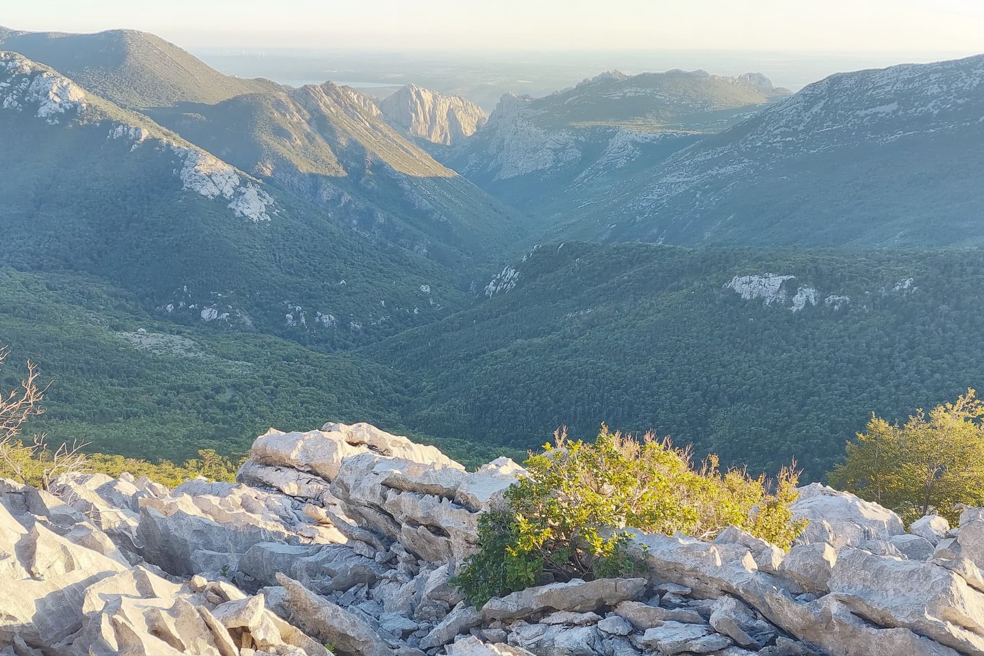
Higher up, the canyon opens into beech and black pine forest, with a mountain hut, two shepherd hamlets and the cool chambers of the Manita peć cave on the way. The main canyon path climbs about 400 m in 6 km, and none of these four walks needs a rope or any scrambling.
Buses from Zadar stop in the village, and spring and autumn are the best seasons for the canyon. More day walks across the country are in our list of the best walks in Croatia.
The 4 Best Walks in Paklenica National Park
Paklenica National Park hiking trails add up to 150 to 200 km, and these four suit walkers best. They follow the park's main valley upwards from the coast, so each walk starts where the one before it ends.
Walk 2 is the canyon day most visitors come for, and walks 3 and 4 suit a night at the hut.
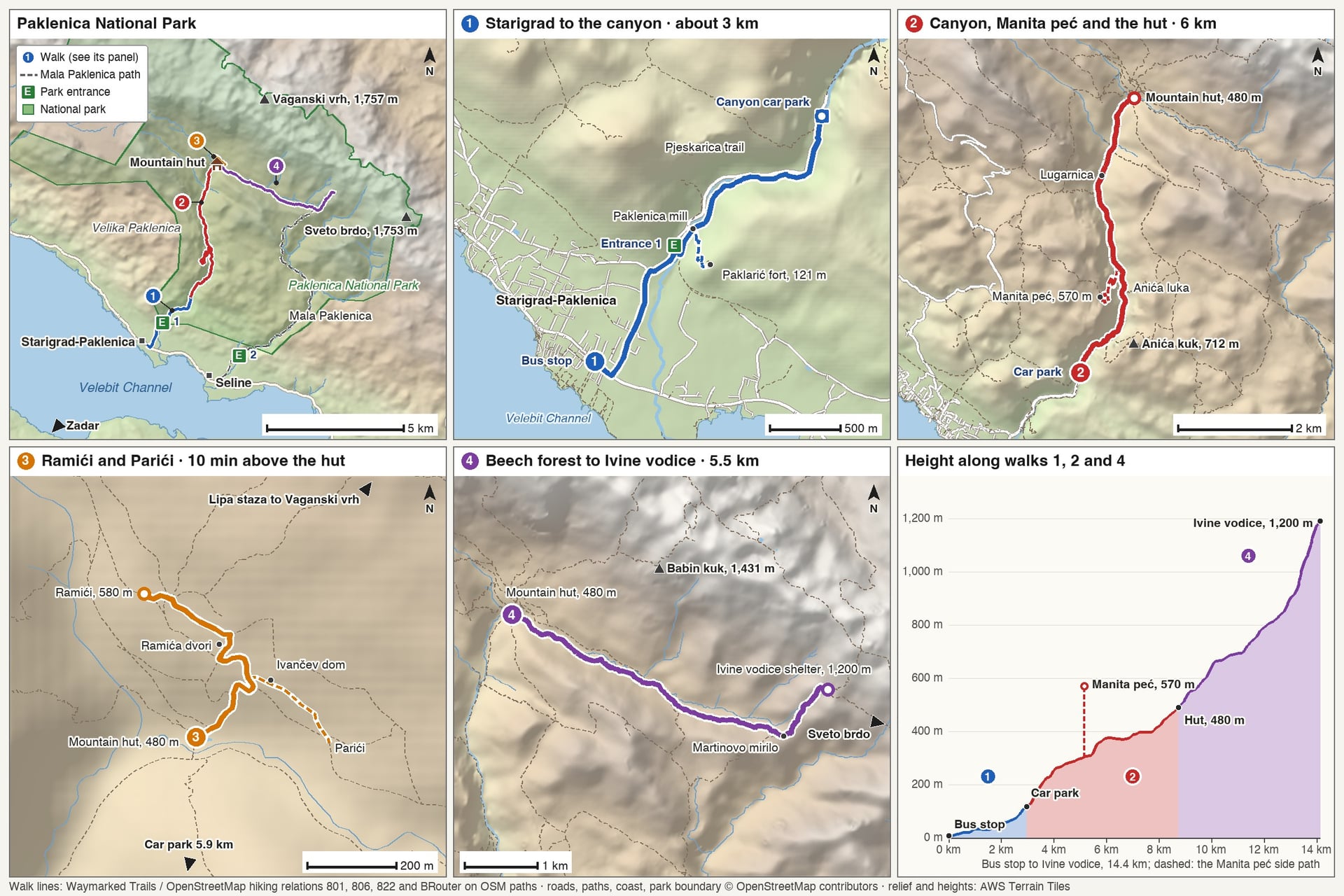
Walk | Start | Distance | Climb | Time up | Water on the way |
Starigrad to the canyon | Starigrad bus stop | About 3 km | About 110 m | About 1 hour | Shops in Starigrad; a tavern by Entrance 1 in summer |
Canyon to the mountain hut | Canyon car park | 6 km; 4 km to Manita peć | About 400 m; 450 m to the cave | 2 hours; 1 h 30 to the cave | On the canyon path, none on the cave path |
Ramići and Parići | Mountain hut | About 650 m | About 100 m | About 10 minutes | Ramića dvori |
Ivine vodice | Mountain hut | About 5.5 km | About 720 m | About 2 h 30 | A spring by the shelter, sometimes dry in summer |
Choose by the day you have in mind:
Arriving by bus: walk 1 to the canyon car park, then walk 2 as far as Anića luka (20 minutes) or the cave (1 h 30)
One full day: walk 2 to the hut with the cave side path, about 16 km there and back
A night at the hut: walks 3 and 4 the next morning, in the cool of the forest
1. Starigrad to the Canyon on the Pjeskarica Trail
Start: the bus stop on the coast road in Starigrad-Paklenica
Distance: about 3 km to the canyon car park; the Paklarić path adds 550 m
Climb: about 110 m, plus 120 m up to the Paklarić fort
Time: about 1 hour; allow 45 minutes for Paklarić
Water and food: shops in Starigrad and a tavern by Entrance 1 in summer
Ground: pavement to Entrance 1, then an earth path beside the stream
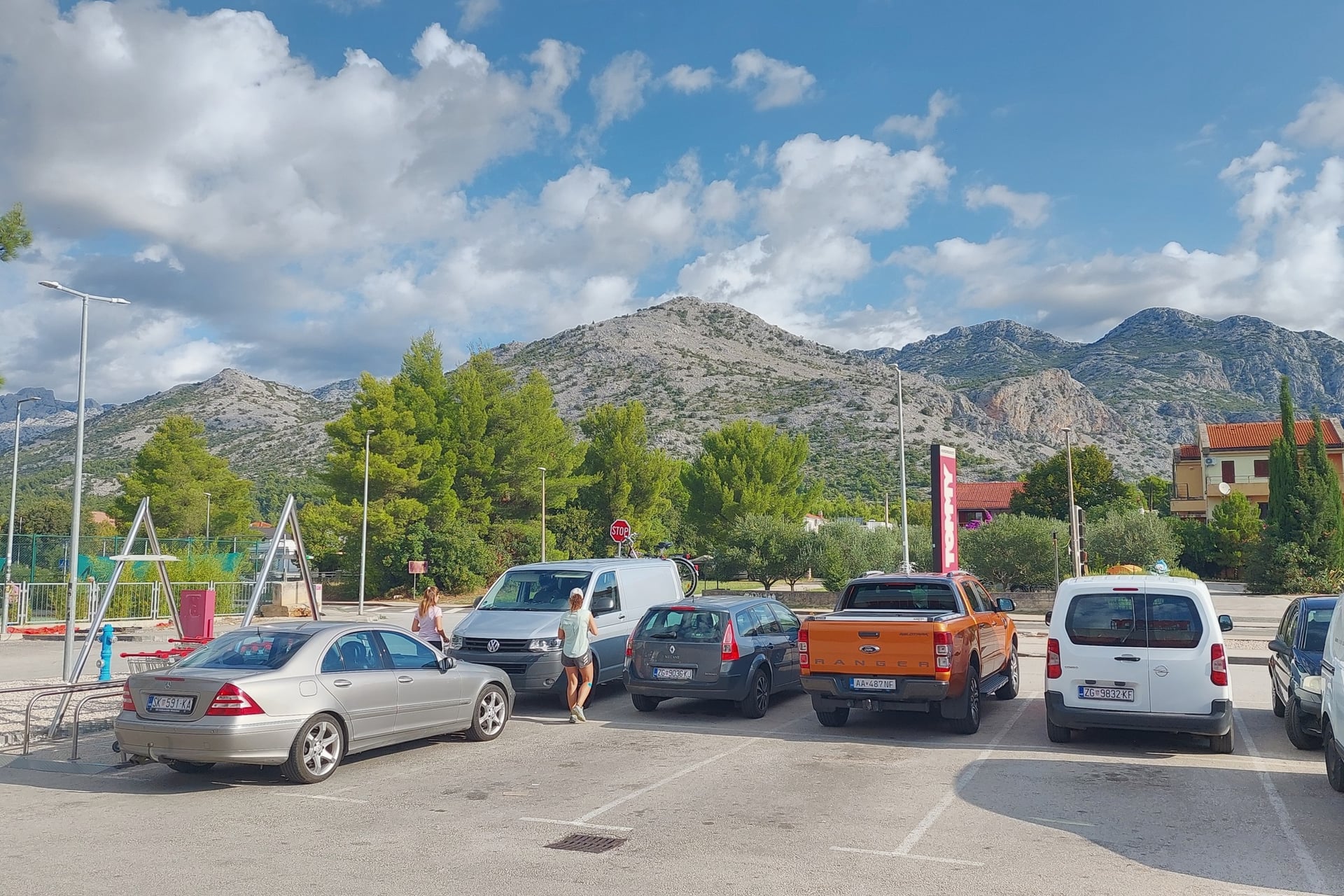
This is the way into the park on foot. Paklenička ulica climbs gently from the coast road for about 1.25 km to Entrance 1, where you buy your ticket. Cars drive on for 2 km to the canyon car park, but walkers have a quieter path beside the stream.
Just past the ticket office stands the Mid Marasović mill, restored by the park in 2000 and open from May to October, 8:00 to 19:00. It is one of 15 watermills built on the stream in the early 19th century, which ground grain until the 1960s.
From the mill, the Pjeskarica trail follows the east bank for 1.5 km and climbs 70 m to the car park, past boards on the park's plants and rocks. A side path climbs 120 m to the Paklarić fort at 121 m, and the viewpoint there looks over Starigrad and the Velebit Channel.
At the car park, the Underground Secrets of Paklenica visitor centre fills tunnels the Yugoslav army dug in the early 1950s. It covers the mountain's nature and people and has a small climbing wall for children, open April to October, 9:00 to 15:30.
2. Velika Paklenica Canyon, Manita Peć and the Mountain Hut
Start: the canyon car park, 2 km above Entrance 1
Distance: 6 km to the mountain hut; 4 km to Manita peć
Climb: about 400 m to the hut; 450 m to the cave
Time: about 2 hours up to the hut; 1 h 30 to the cave
Water and food: drinking water on the canyon path, Lugarnica from May to October and the hut all year
Ground: a broad, stony path with a steady gradient; the cave path climbs in zigzags
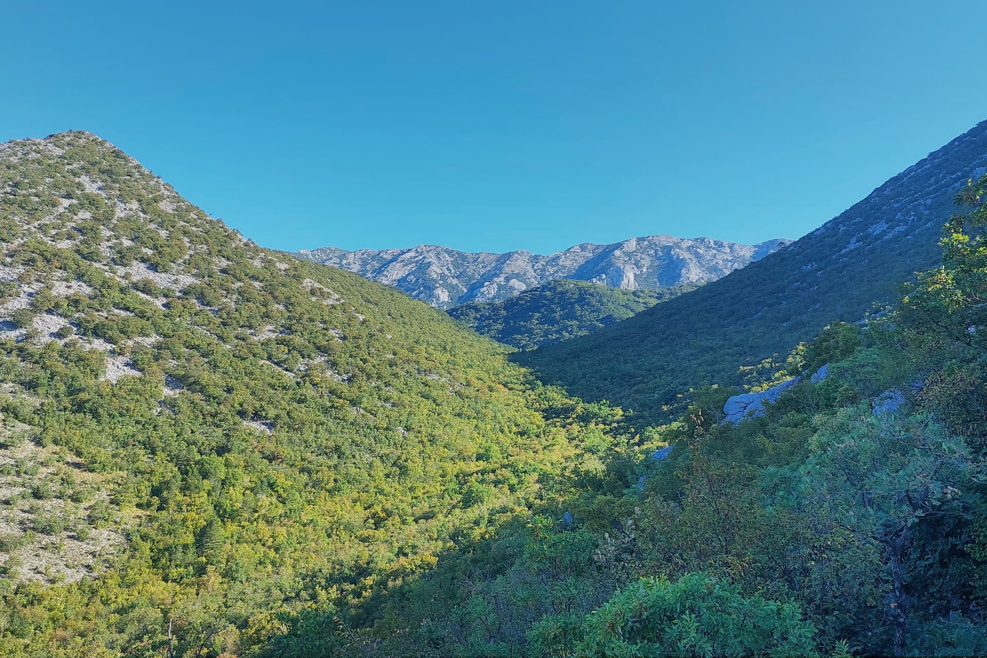
This is the walk most people come to Paklenica for. Between Entrance 1 and Anića kuk, 712 m, the stream has cut a canyon about 3 km long and up to 400 m deep. The park has about 600 marked climbing routes, and the path runs right below the climbing walls.
After 20 minutes you reach Anića luka, a clearing at 250 m, and the cave path turns off 10 minutes later, 2.2 km from the car park. It climbs for 45 minutes to a viewpoint and the cave, and it has no water and little shade, so the park advises early starts in summer.
Manita peć, at 570 m, is the only one of the park's 115 known caves open to visitors. Guides lead 30-minute tours inside, where the air stays at about 9 °C all year.
The cave opens from 10:00 to 13:00: on Saturdays in April, on Mondays, Wednesdays and Saturdays in May, June and October, and daily from July to September. These hours decide when you need to leave the car park.
Above the turn-off the path enters beech and black pine. Lugarnica, the forester's house by the stream, 4 km from the car park, serves tea, coffee and simple dishes for cash, daily from May to October and at weekends from Easter. The mountain hut is about 30 minutes further, at 480 m.
3. Ramići and Parići Above the Hut
Start: the mountain hut, 6 km from the car park
Distance: about 650 m to Ramići; Parići is about 500 m away on a second path
Climb: about 100 m
Time: about 10 minutes from the hut; 2 to 2 h 30 from the car park
Water and food: simple food and drinks at Ramića dvori
Ground: a stony path through the trees
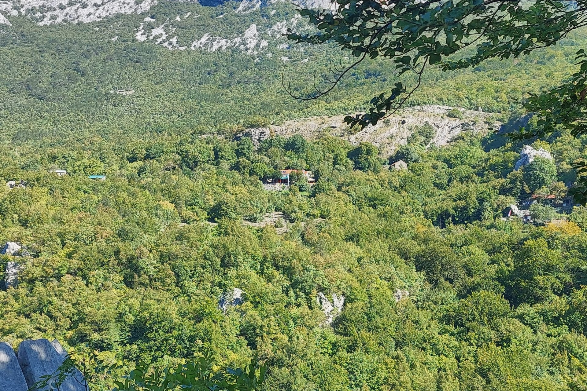
Ramići and Parići are shepherd hamlets at about 580 m, 10 minutes above the hut. Families from the coast drove their sheep and goats up each spring, around St George's Day on 23 April, to stone houses at 550 to 900 m, and moved higher in early summer.
In Ramići, Ramića dvori serves simple food and drink to walkers, and the steep Lipa staza leaves from here for Vaganski vrh. In Parići, Ivančev dom has four rooms with four beds, two bathrooms, a kitchen and solar power, so you can bring your own food and stay.
4. Through the Beech Forest to Ivine Vodice
Start: the mountain hut
Distance: about 5.5 km one way
Climb: about 720 m
Time: about 2 h 30 up
Water and food: a spring by the shelter, which sometimes dries in summer; nothing to buy
Ground: a forest path beside the stream, then steeper through beech and black pine
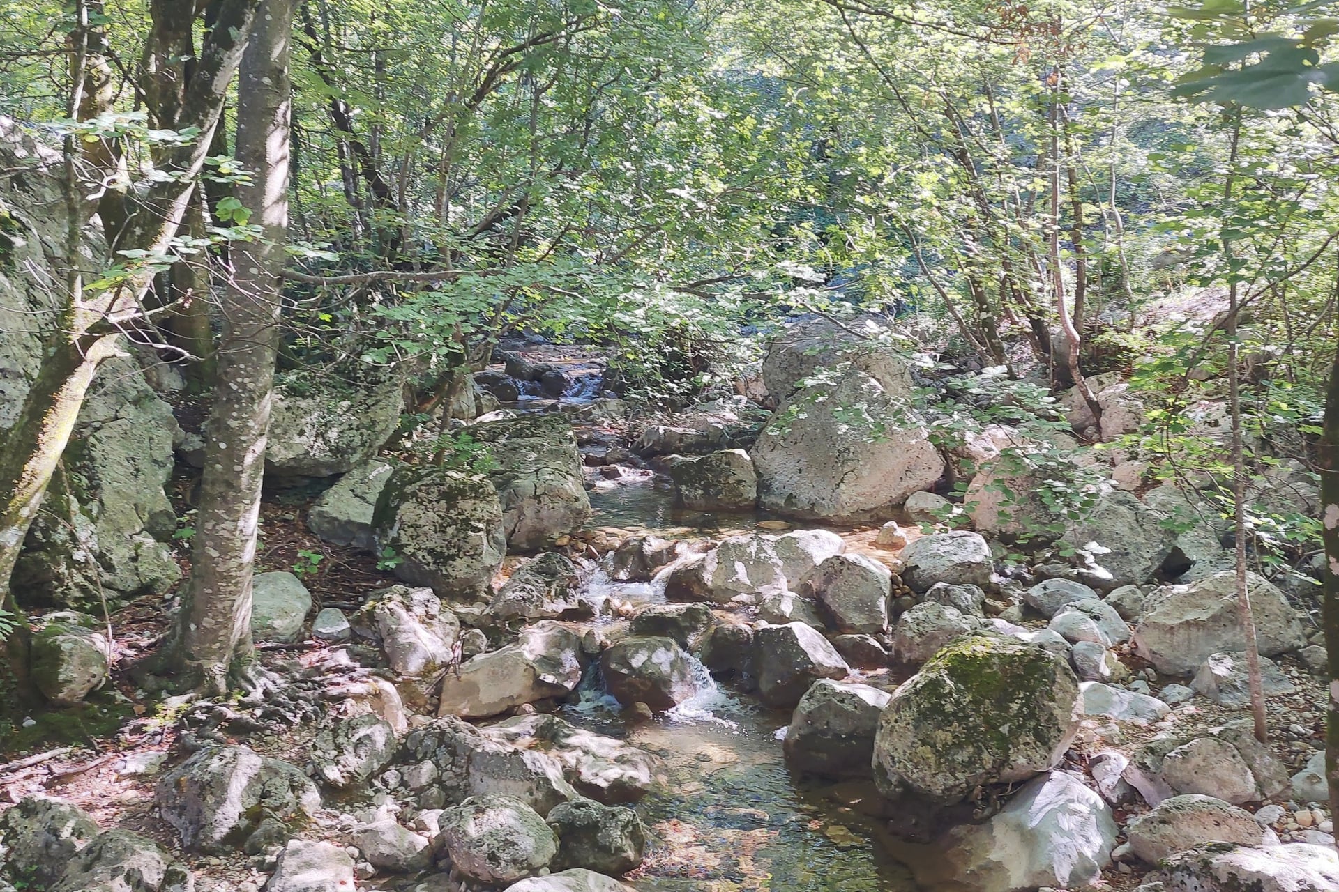
From the hut, this path follows the south side of the Velika Paklenica stream and then climbs through beech and mixed beech and black pine, with views of Babin kuk, 1,431 m, between the trees. Half of the park is forest, and most of this walk is in the shade of the trees.
Black pine resin was once made into paklina, a pitch for torches and for sealing wooden boats, and one theory takes the park's name from it. The path crosses the saddle of Martinovo mirilo, about 910 m, before the open shelter at Ivine vodice, 1,200 m, which sleeps about 12.
The shelter is open all year: bring your own sleeping gear, and leave water and firewood for the next walkers, as the park asks. From there a steep path climbs on through old beech forest to the meadows of Čičina dolina, which flower in May and June.
Longer Routes: Mala Paklenica and the Summits
Beyond these four walks, the park's longer routes are for experienced hikers. Mala Paklenica, the second canyon, starts at Entrance 2 in Seline, open from late April to late October. It runs 12.5 km from its source to the sea and narrows to about 10 m between walls up to 300 m high.
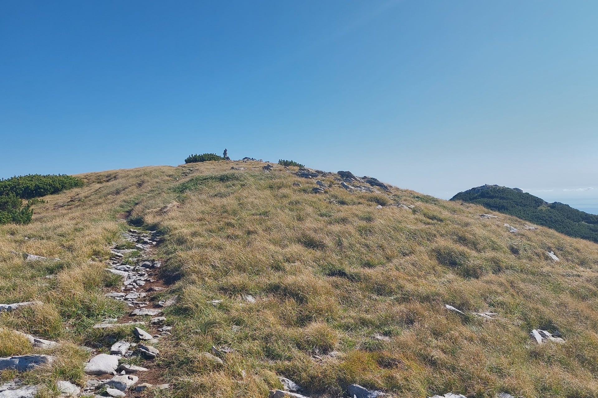
Parks of Croatia rates the 12 km route through Mala Paklenica to the Velika Paklenica canyon as hard: about 6 hours and 650 m of climbing, with no drinking water. The park recommends it for experienced hikers only, and it is impassable when water runs.
The summits are a full mountain day from the hut. The steep Lipa staza climbs 4.1 km from Ramići to the ridge below Vaganski vrh, and Sveto brdo, 1,753 m, is about 5 hours away by Ivine vodice.
Snow covers both tops on many days between late autumn and spring, and the bura, a cold north-east wind, can blow at hurricane force on the ridge. For the summits, see our sister brand's guide to hiking in Croatia.
How Hard Is Walking in Paklenica?
Every path here has red-and-white waymarks, and none of these walks needs climbing skills. The effort comes from the climb, the stony ground and the summer heat in the lower canyon.
The Canyon Path
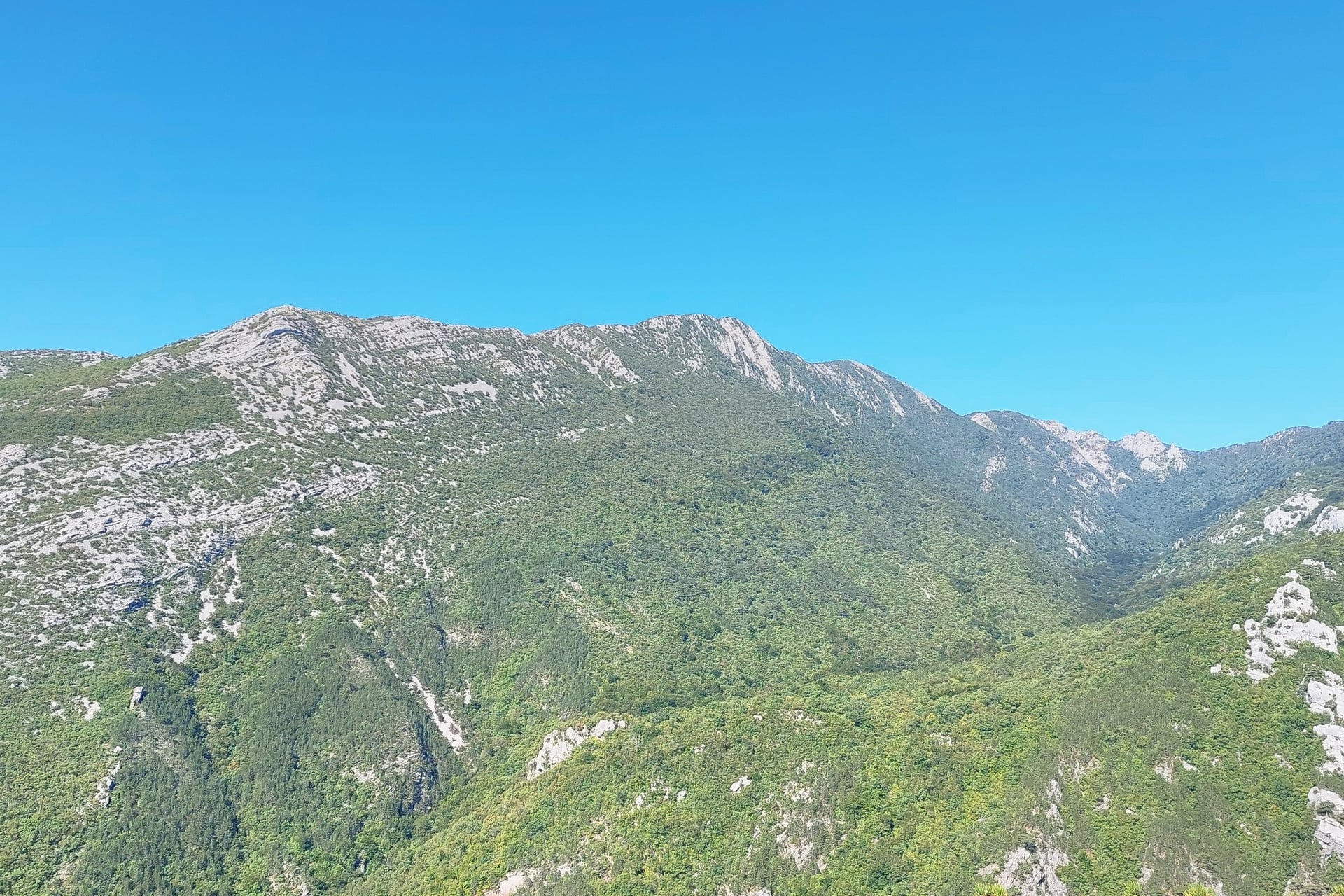
Parks of Croatia, the state parks' website, rates the canyon path to the hut easy and the Manita peć path moderate. The canyon path is broad but stony, with little shade before the forest.
In July and August Zadar's average high is 28 °C, so start before the sun reaches the canyon floor.
Above the Hut
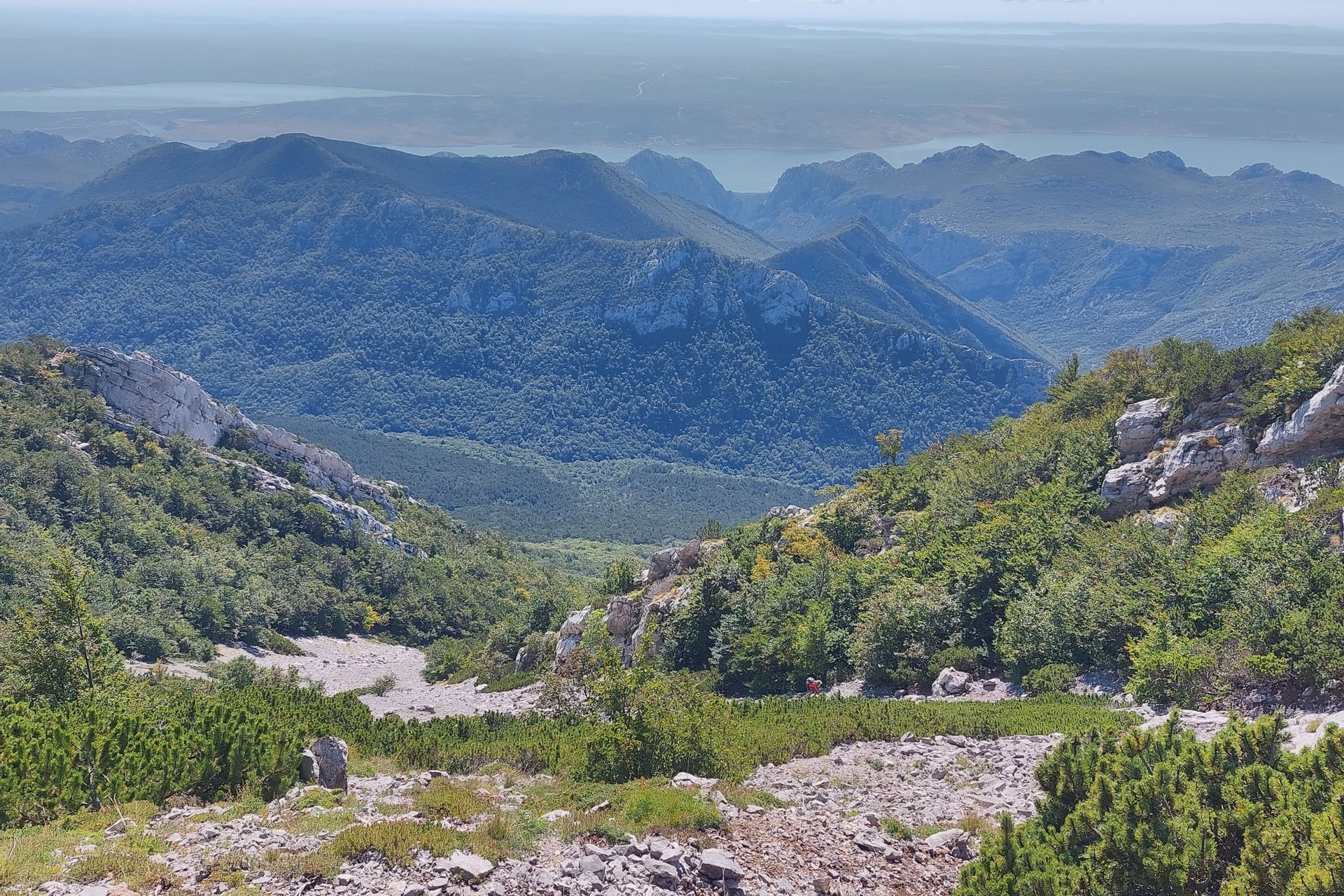
Above the hut the Paklenica hiking trails become mountain routes with few springs. The way to Ivine vodice gains about 720 m, and the routes on to Vaganski vrh and Sveto brdo cross long scree slopes.
In an emergency call 112; the Croatian Mountain Rescue Service has its post beside the visitor centre at the canyon car park.
Further north on the same range, the Premužić Path is a stone-built path for walkers, with huts a day apart.
Best Time to Walk in Paklenica
The seasons change the heat in the lower canyon, the water in the stream and the days the cave opens. Averages are for Zadar, 1971 to 2000, from the national weather service.
April and May: average highs of 17 and 21 °C; Lugarnica opens at weekends from Easter and daily from May, and the cave opens on Saturdays in April
June: 25 °C by day and the longest days
July and August: 28 °C, with 4 or 5 rain days a month; the cave opens daily, and parts of the stream dry up
September and October: 24 and 20 °C, with the sea still at 21 and 19 °C; the cave opens daily in September and three days a week in October
November to March: 11 to 15 °C and 7 to 9 rain days a month; the cave and Lugarnica close, but the hut stays open
For most walkers May, June, September and October are the best months, with mild days and the cave, Lugarnica and the hut all open.
Know Before You Arrive
Starigrad-Paklenica is a small village, so plan the bus, the cash and the hut bed before you set off.
Getting There
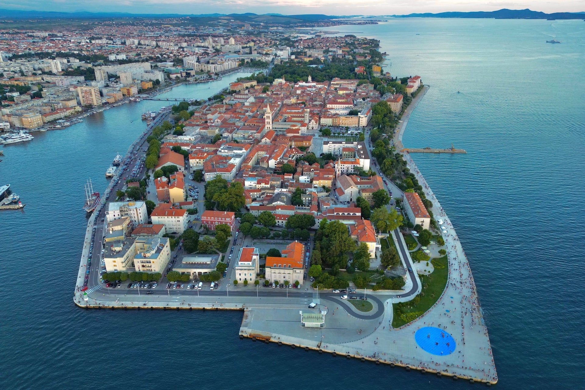
Zadar Airport is about half an hour's drive away, and buses from Zadar take about 45 minutes. Liburnija's line 135 runs on working days only, with four buses each way in its timetable from 9 September 2026, so a weekend visit without a car needs another plan.
From the UK, Ryanair flies to Zadar from Stansted from late March to late October and from regional airports in summer, and easyJet from Gatwick from late June to late August. There are no UK flights to Zadar in winter; from the USA, change at a European hub.
Croatia is in the Schengen area: UK and US visitors may stay 90 days in any 180, and the EU's Entry/Exit System records fingerprints and a photo at the border.
Tickets and Prices
In Paklenica one ticket covers every marked trail and climbing route for a day. Prices from the park's 2026 price list:
Ticket | January, February, November, December | March, April, October | May to September |
Adult, 1 day | €5 | €8 | €10 |
Child aged 7 to 18, 1 day | €2.50 | €4 | €5 |
Student to 25 or over 65, 1 day | €4 | €6 | €8 |
Adult, 3 days (valid for 5) | €10 | €16 | €20 |
Adult, 5 days (valid for 7) | €15 | €24 | €30 |
Children under 7: free with an adult
Manita peć: €5 for adults and €2.50 for children, paid in cash at the cave, 1 April to 31 October
Underground Secrets visitor centre: €5 and €2.50, open April to October, 9:00 to 15:30
Cars: a daily vignette of €3 to €5, sold at Entrance 1
Online: 5% off in the Parks of Croatia web shop
Mountain hut: €16 a night, or €8 for Croatian Mountaineering Association members, tourist tax included
Payment: cards only at Entrance 1 and the visitor centre; cash in euros everywhere else
Where to Stay
Most walkers sleep by the sea in Starigrad-Paklenica or Seline. A night in the mountain hut puts walks 3 and 4 within reach the next morning.
On the coast:
Starigrad-Paklenica and Seline: hotels, apartments and campsites along the shore, close to Entrance 1 and Entrance 2
Camp Nacionalni park: the park's own campsite on a pebble beach in Starigrad, for about 100 people, open 15 March to 15 November, no bookings
In the park:
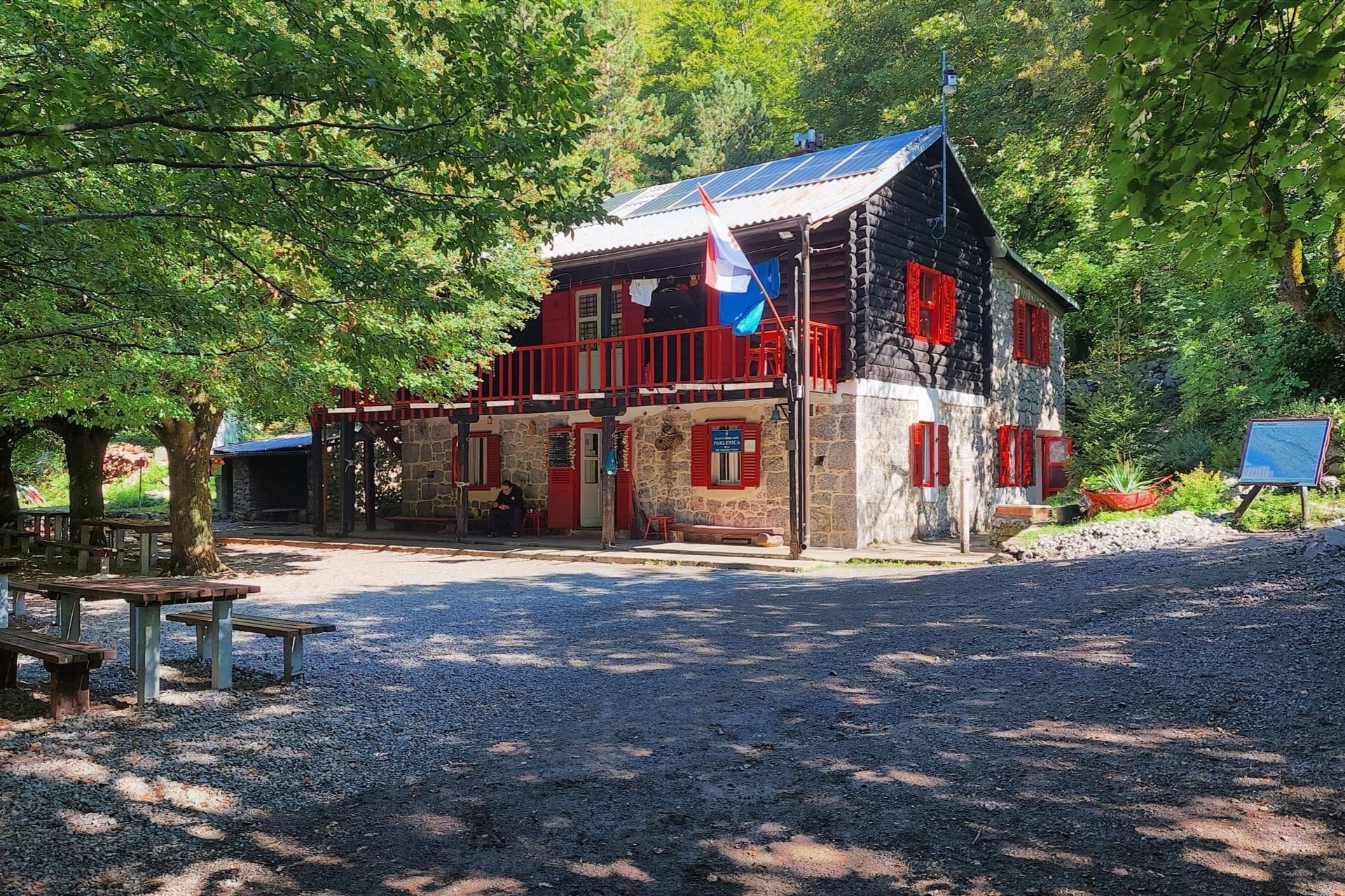
Planinarski dom Paklenica: 480 m, about 50 beds in shared rooms, open every day of the year, with a kitchen, dining room, electricity and running water; bring a sleeping bag. Beds are booked through PD Paklenica, the Zadar club that runs it
Above the hut: Ivančev dom in Parići (16 beds, 580 m) and the open shelters at Ivine vodice (1,200 m, about 12 places) and Struge (1,400 m, 15 places), open all year; bring your own sleeping gear to the shelters
Camping: not allowed anywhere in the park
What to Pack
Pale limestone, summer heat in the lower canyon and a cave at 9 °C set the kit for Paklenica.
For any day walk in the park:
Walking shoes with a firm grip for stony paths
A sun hat and sun cream, as the lower canyon has little shade
Two litres of water a person in summer
A light rain jacket outside July and August
A phone with offline maps, such as the Croatian Mountaineering Federation's map with GPX tracks
For Paklenica:
A warm layer for Manita peć
Euros in cash for the cave, Lugarnica, Ramića dvori and the hut
A sleeping bag for a night at the hut or a shelter
A head torch, which is on the park's safety list
Walking poles for the descent from the hut
Swimwear for the sea at Starigrad after the walk
One Canyon Day, or a Night at the Hut?
Walk 2 with its cave side path fits one long day from Starigrad, about 16 km there and back. The cave sets the start: guides want you there by 12:30, so leave the car park by about 10:00.

Ramići and the forest path to Ivine vodice need a second day. A night at the hut saves walking up the canyon twice, and you can start the forest walk at first light.
Our self-guided Croatia National Parks Walking Holiday takes the one-day option:
Duration: 7 days / 6 nights, Zagreb to Split, May to October
Paklenica: day 3, about 16 km up the canyon to the mountain hut with the cave, after a night in Starigrad-Paklenica
Travel: a self-drive road trip, with car hire on request
Included: 6 nights in 3-star hotels with breakfast, a digital guidebook, a GPS app and support while you walk
The tourist tax is extra. Ask us about dates for next season.
By late afternoon the canyon path brings you back down to the car park under Anića kuk, and an hour's drive south takes you to Šibenik and the Krka waterfalls.
Frequently Asked Questions



Plan with a hiking expert
Free advice from a team that knows these routes inside out - real people, not a bot

HASSLE-FREE
We handle itineraries, accommodations, and anything else you prefer not to deal with, so you can enjoy a carefree hike.

BOOK WITH CONFIDENCE
We are a financially protected company, fully bonded and insured, keeping your money safe and allowing you to travel with confidence.

TRIED & TESTED ADVENTURES
Only the best walking tours in Croatia, cherry-picked by our team with an in-depth knowledge of the region.

UNBEATABLE SUPPORT
Our 24/7 customer support is where we show our passion, bringing you a better experience by making your well-being our number one priority.